Understanding the Victoria Falls Drought: Seasonal Water Levels Explained
Every few years, sensationalist headlines splash photographs of dry rock across international news outlets, declaring that Mosi-ao-Tunya has dried up forever. Living here in Victoria Falls, I watch these viral reports with a quiet sigh whilst sitting on my veranda in the late afternoon. The truth is far more fascinating than clickbait headlines suggest. Victoria Falls operates on a rhythmic hydrometric cycle driven by rainfall patterns hundreds of kilometres upstream. Spanning a width of 1,708 metres and dropping 108 metres into teh black basalt fissures of Batoka Gorge, this UNESCO World Heritage Site undergoes a dramatic transformation every single year. Understanding this ebb and flow is essential for anyone planning a victoria falls trip, whether you dream of witnessing thunderous floodwaters or capturing sharp photographs of exposed geological walls during golden hour.
The Anatomy of the Zambezi River Catchment
The seasonal pulse of Victoria Falls depends on upstream geography rather than localized rainfall in Zimbabwe. The Zambezi River begins its journey in the moist highlands of northwestern Angola, carving its path through Zambia and bordering Botswana before reaching our town. Rainfall in these upper catchments takes up to four months to travel downstream through the Barotse Floodplain. This geographical lag means that even though our local rains fall between November and March, the maximum water flow at the falls peaks between March and May. The Zambezi River Authority, established in 1987, monitors daily water volumes across 13 hydrometric stations along the basin, including the historic Victoria Falls Big Tree station. Their hydrometric data shows how predictable this annual surge really is. You can explore more about river flow science in our Nature & Geography Guide.
High-Water Season (March to May)
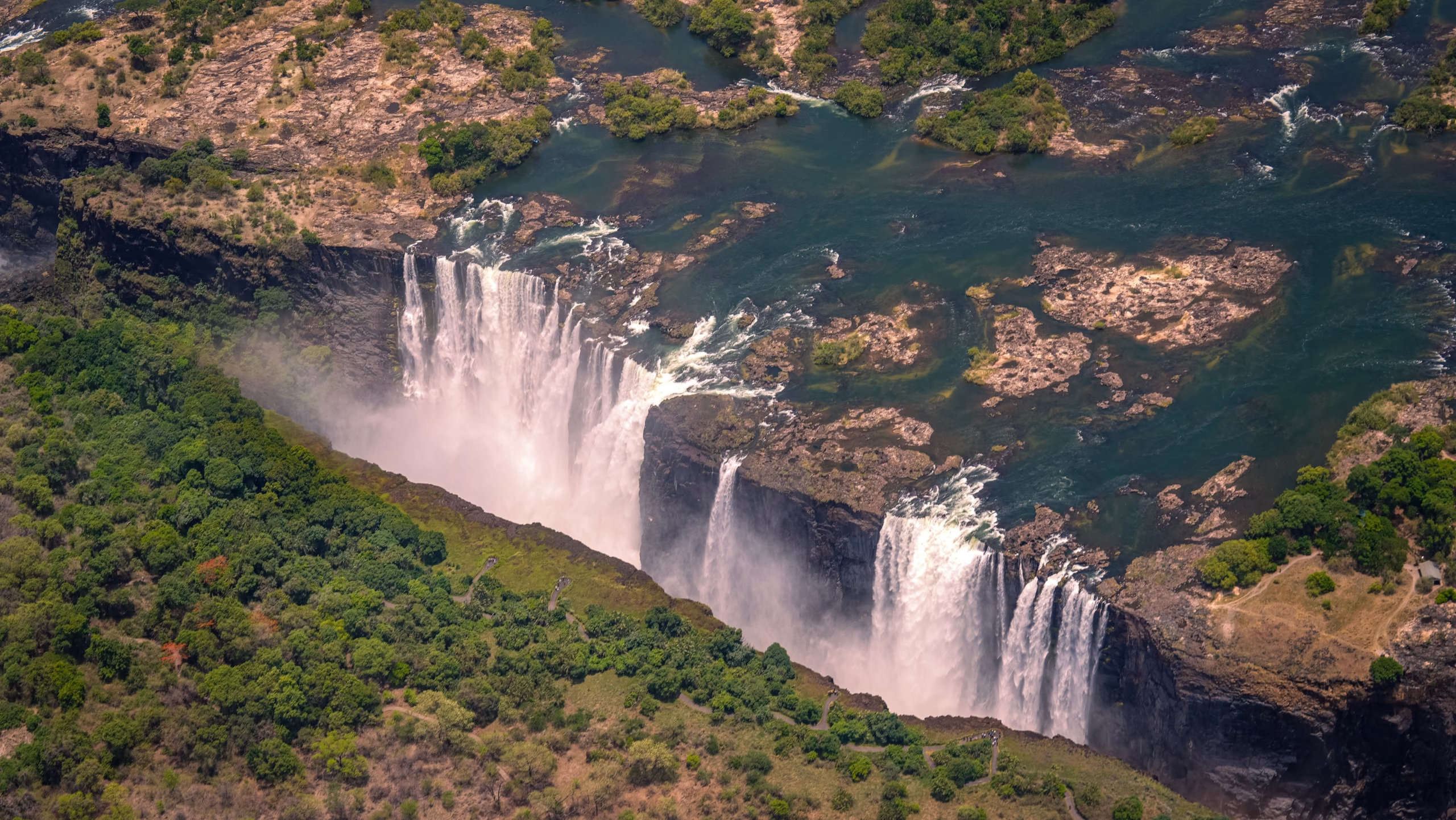
During peak flood, typically in April, more than 500 million litres of water pour over the cliff edge every minute. The sheer power creates a cloud of spray rising hundreds of metres into the sky, visible from 30 kilometres away. Walking through the rainforest path during these months feels like standing in a warm tropical rainstorm. Photographers should note that dense mist can completely obscure the gorge floor, making wide landscape photos challenging. However, the raw auditory thunder and the sight of full water curtains like Main Falls is extraordinary.
Low-Water Season (September to December)
As the dry season takes hold, water levels recede significantly, reaching their lowest point in November. Bare basalt cliffs appear along the rim, particularly across the eastern cataract in Zambia. Far from being a disappointment, this period offers clear visibility into the ancient gorge geology, revealing millions of years of volcanic rock formations. The golden hour light between 5:00 PM and 6:00 PM hits the rock faces with incredible warmth, creating conditions for crisp landscape photography that simply do not exist when spray fills the air.
Seasonal Water Flow and Travel Breakdown
| Season | Months | Average Water Volume | Key Highlights & Activities |
|---|---|---|---|
| Peak Flood | March – May | High (>500M Litres/min) | Helicopter flights over spray, drenching rainforest walks, dramatic water volume. |
| Transitional Flow | June – August | Medium (Declining) | Ideal balance of clear visibility and water curtains, prime sunset river cruises. |
| Low Water | September – November | Low (Lowest in Nov) | White-water rafting in Batoka Gorge, access to Devil’s Pool, gorge geology photos. |
| Rising Flow | December – February | Medium (Increasing) | Fresh landscape greenery, returning cascades, migratory bird watching, thunder clouds. |
“The river is never dead; it is merely resting. Visitors who come in October see the architectural bones of the continent, whereas visitors in April see its rushing blood.”
Senior Zimbabwean Ranger, Victoria Falls National Park
The Geography of Flow: Why Zimbabwe Keeps Flowing
Travelers often ask why photographs of dry rocks circulate online while other photos show a roaring cascade during the exact same month. The answer lies in the bed elevation of the river itself. The Zimbabwean side of the falls sits topographically lower and deeper than the Zambian side. Because of this natural gradient, a continuous curtain of water flows down Devil’s Cataract and Main Falls on the Zimbabwean side, even during extreme low-water months in November. In contrast, the higher riverbed on the Zambian side causes the eastern cataract to dry up completely in late spring. Visiting the Zimbabwean section managed by the Zimbabwe Parks and Wildlife Management Authority guarantees a water view regardless of the month you visit. If you want to see how our drop compares to other world landmarks, read our detailed analysis on how Victoria Falls compares to Niagara Falls.
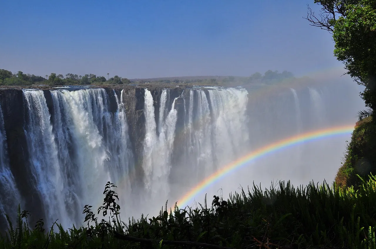
Seasonal recession is a healthy natural pulse of the river system, not a permanent environmental catastrophe.
Debunking the Drought Narrative & Climate Realities
Discussions around Victoria Falls Zimbabwe drought often confuse normal dry season drops with environmental collapse. Regional droughts in 1995 and 2019 brought river volumes to historic low points, but claims that Victoria Falls is permanently disappearing ignore centuries of recorded hydrology. Multi-year weather variability and El Niño cycles cause periodic shifts in rainfall totals across southern Africa. High evaporation rates under the equatorial sun during October accelerate seasonal depletion, yet the Zambezi River bounces back reliably once upper catchment rains filter downstream. Understanding victoria falls zimbabwe weather patterns allows you to choose activities that match river conditions. Low water makes white-water rafting through Batoka Gorge safer and more exciting, whereas high water makes helicopter flights unmissable. To plan your ground transportation and border transfers smoothly, browse our guide on how to get to Victoria Falls or view our recommended tours and outdoor activities.
Embracing the Perpetual Rhythm of Mosi-ao-Tunya
Whether you visit when spray towers into the azure sky or when golden light hits the bare basalt walls, the waterfall possesses a magnetic quality in every season. The key is matching your travel expectations with the river’s cadence. By understanding the upstream journey of the Zambezi, you can turn a seasonal low into an opportunity for geological photography and water sports that are impossible during flood height. Victoria Falls in Zimbabwe remains one of the greatest natural wonders on earth, expeirencing constant rebirth with every passing season. It is a spectacle that continues to captivate everyone who stands along its misty rim, giving travelers a landscape worth marveling at.